| Name | Last modified | Size | Description | |
|---|---|---|---|---|
| Parent Directory | - | |||
| bioregions_qld1.JPG | 2004-06-27 08:17 | 26K | ||
| npifacilities.gif | 2004-06-27 08:19 | 15K | ||
| bioregions.html | 2004-06-30 13:59 | 549 | ||
| bioregions_qld.JPG | 2004-06-30 13:59 | 158K | ||
| cbd_urban_renewal/ | 2004-06-30 14:01 | - | ||
| epa_wq_map.gif | 2004-06-30 14:01 | 29K | ||
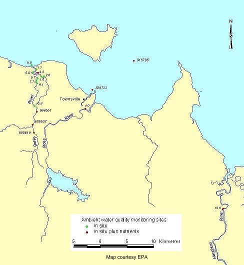
| epa_wq_map.jpg | 2004-06-30 14:01 | 25K | ||
| epbc_map.gif | 2004-06-30 14:01 | 6.7K | ||
| explorericon_gbr.jpg | 2004-06-30 14:01 | 5.7K | ||
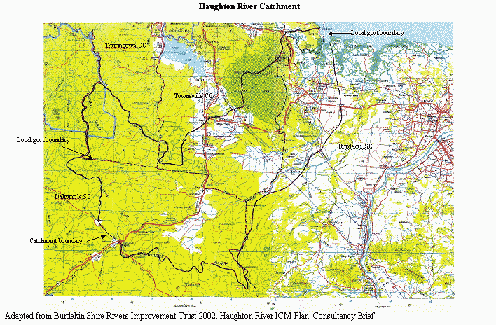
| haughton_catchment.gif | 2004-06-30 14:01 | 94K | ||
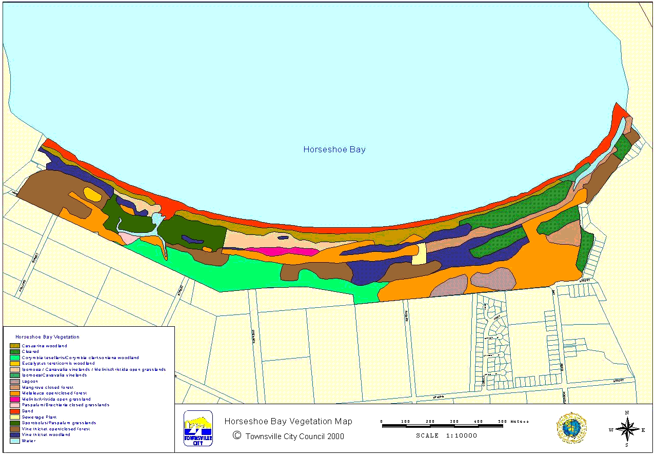
| horseshoe_bay_vegeta..> | 2004-06-30 14:02 | 100K | ||
| map_519.JPG | 2004-06-30 14:02 | 100K | ||
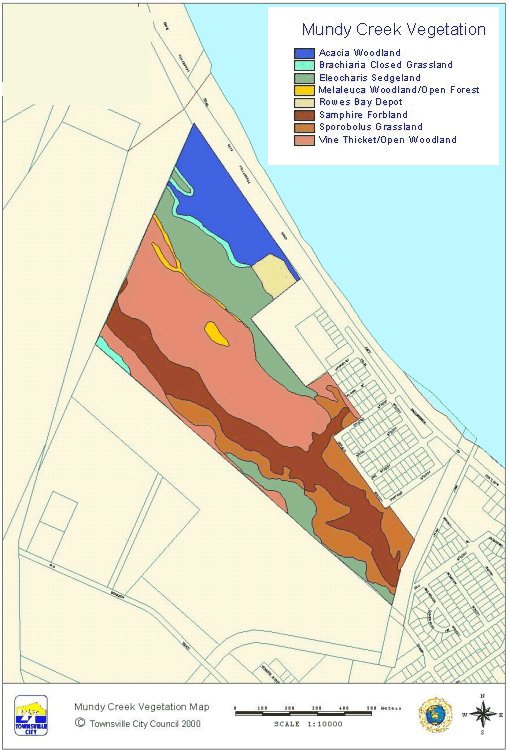
| mundy_creek_vegetati..> | 2004-06-30 14:03 | 81K | ||
| npisitesNOT_USED_YET..> | 2004-06-30 14:03 | 3.8K | ||
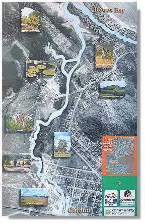
| rowes_wetland.jpg | 2004-06-30 14:03 | 65K | ||
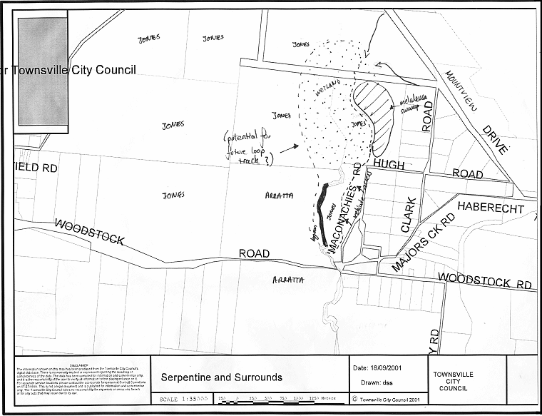
| serpentine.gif | 2004-06-30 14:04 | 87K | ||
| State_LGA.JPG | 2004-06-30 14:11 | 30K | ||
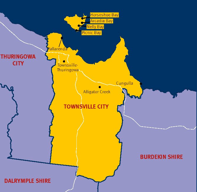
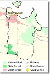
| Townsville_LGA.JPG | 2004-06-30 14:11 | 53K | ||
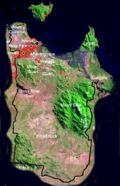
| Tsvlle LGA satellite..> | 2004-06-30 14:11 | 183K | ||
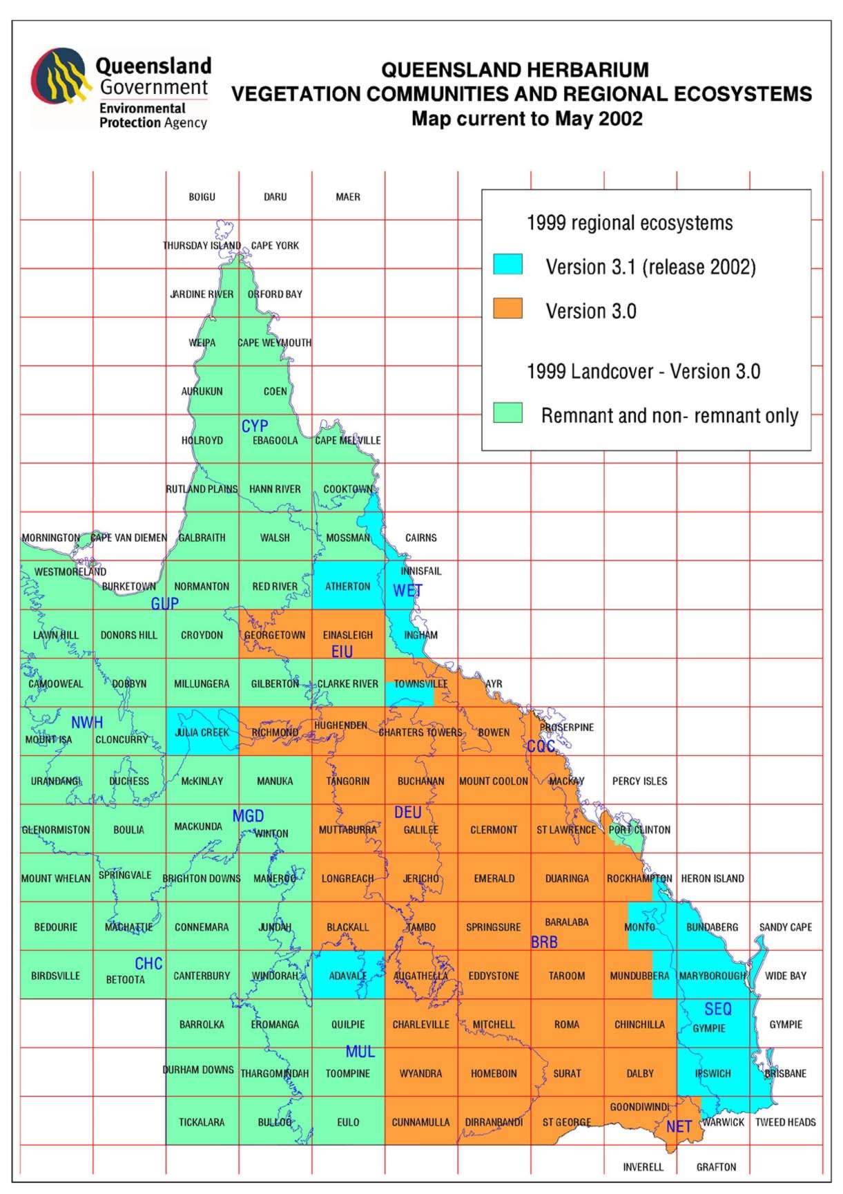
| vegetation_full.jpg | 2004-06-30 14:11 | 204K | ||
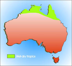
| wetdry_tropic_ozmap.jpg | 2004-06-30 14:11 | 19K | ||
| mundy_ck_lg/ | 2004-09-16 12:15 | - | ||
| bioregions_thumbnail..> | 2006-05-09 14:39 | 10K | ||
| TsvlLGA.JPG | 2006-05-09 14:44 | 26K | ||
| biodiversity/ | 2006-10-06 16:57 | - | ||
| catchment_map/ | 2006-10-06 16:57 | - | ||
| explorer_icon_savann..> | 2006-12-06 16:55 | 1.0K | ||
| explorer_icon_gb.gif | 2006-12-06 16:55 | 3.2K | ||
| explorericon_wetland..> | 2006-12-06 16:55 | 4.1K | ||
| map_aust_tsv.gif | 2007-03-27 10:24 | 17K | ||
| mundy_ck_interp.jpg | 2007-10-12 12:50 | 36K | ||
| shire_map/ | 2019-12-30 17:23 | - | ||
| shire_map_sml/ | 2019-12-30 17:24 | - | ||